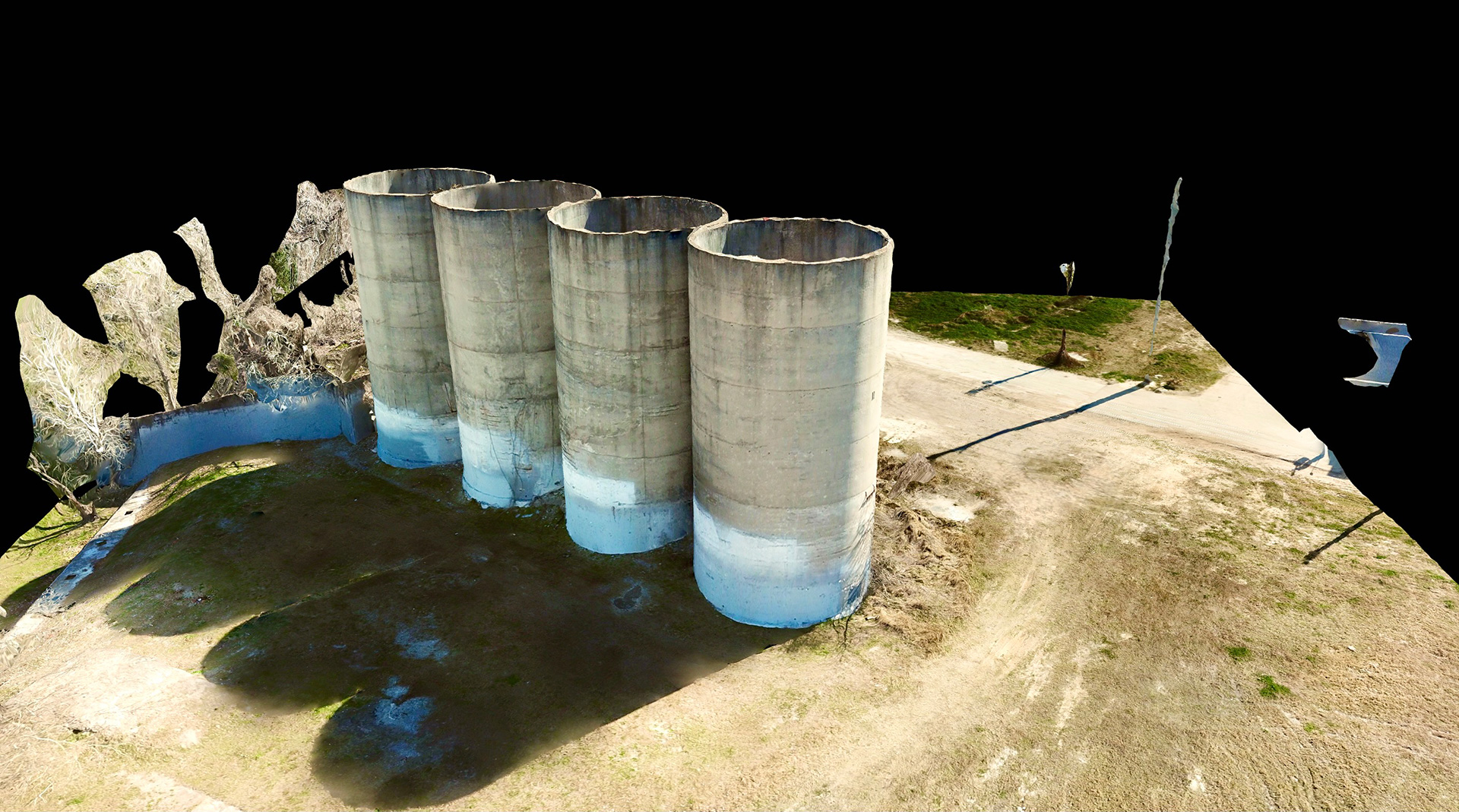
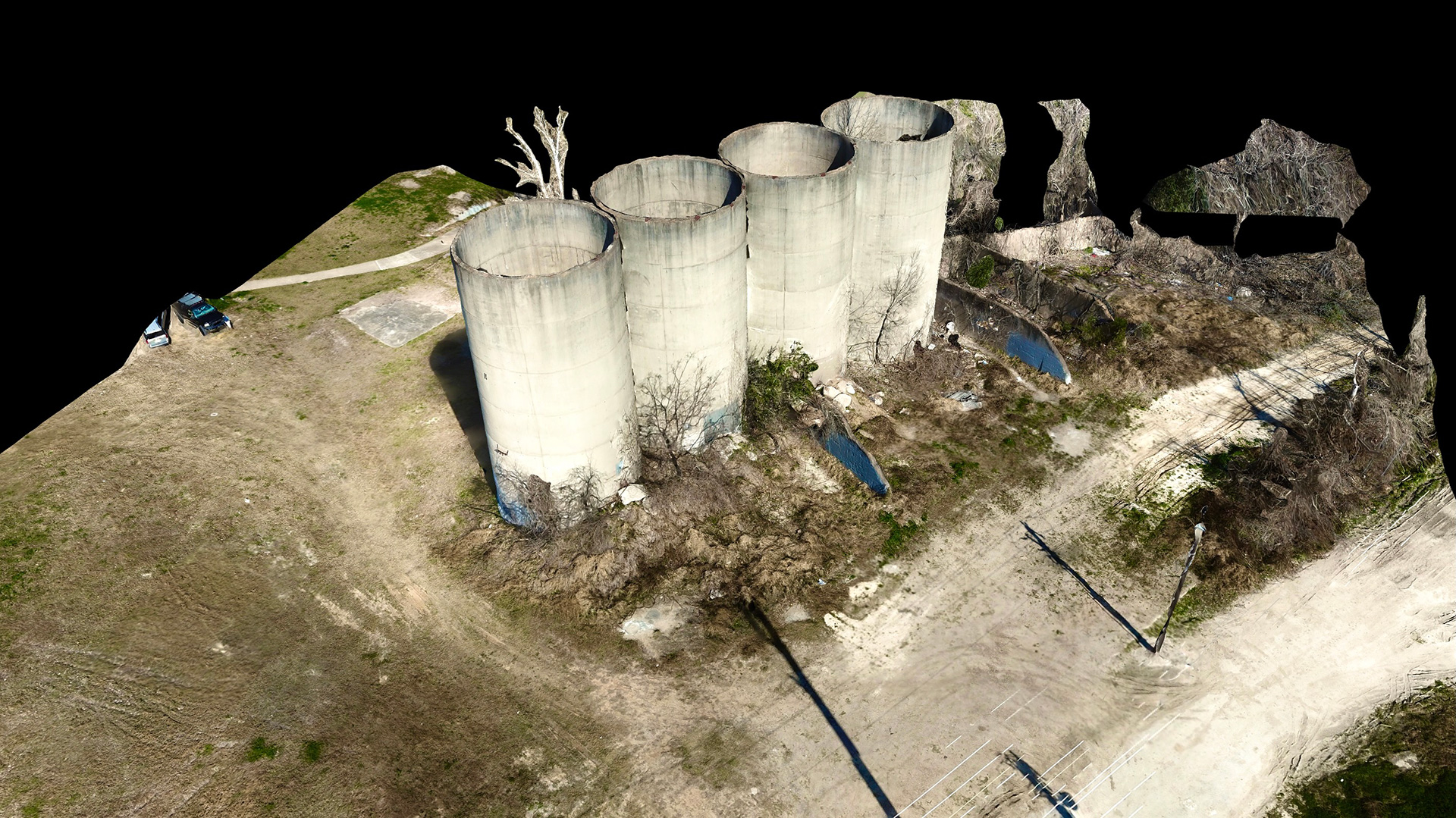
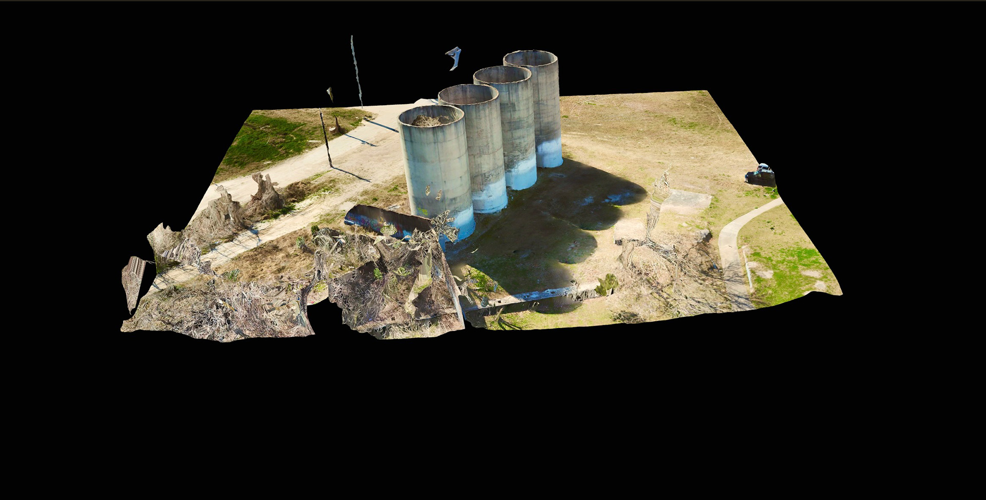
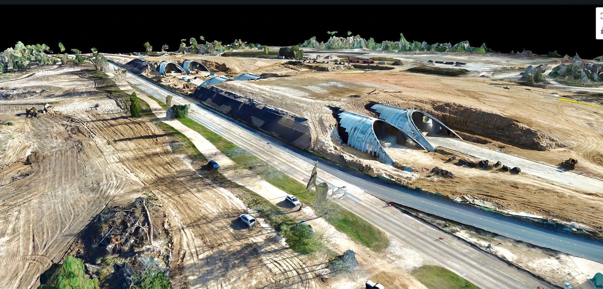
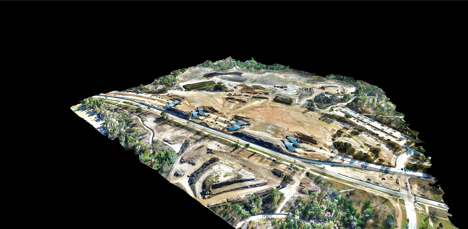
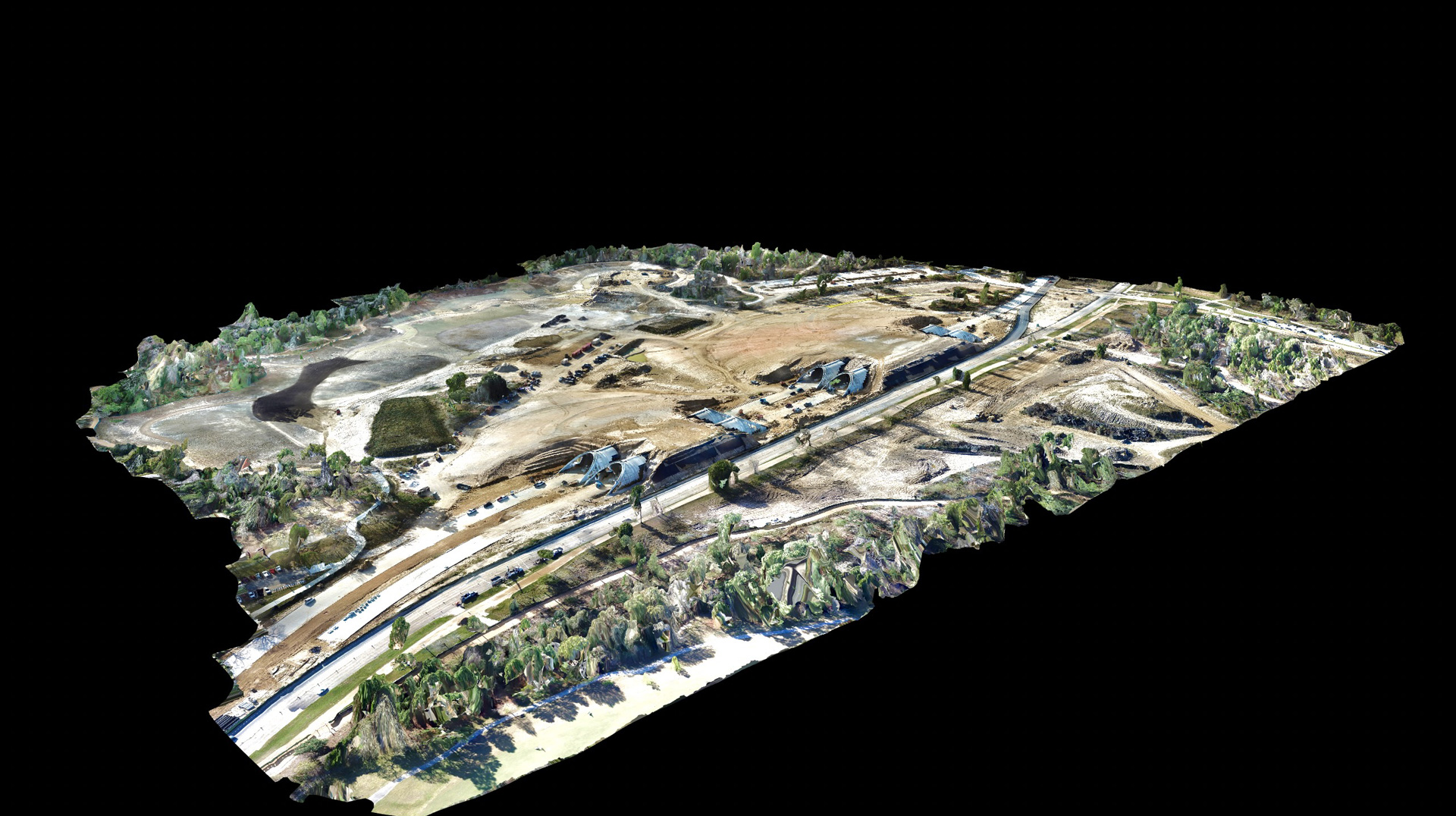
3D imaging isn't just imagery, the imagery becomes the map
3D mapping starts with precision pre-mapping and drone operation, and is somewhat limitless in what can be mapped. Anything is attainable. From building and construction, to agriculture and terrain, if the drone can fly above and around something, it can be mapped.
And that’s the beauty of 3D mapping. Once a project is started, its possible to visualize the entire project area in 3D rotation, and throughout the progress of anything, if necessary.
This is only the beginning.
- Category 3D Reality Models